Escaping the heatwave in a van: Swedish Lapland, Europe's last wild refuge
It's 39°C in Lyon. Your van's windshield is too hot to touch. You've checked the forecast three times hoping for an error. There isn't one.
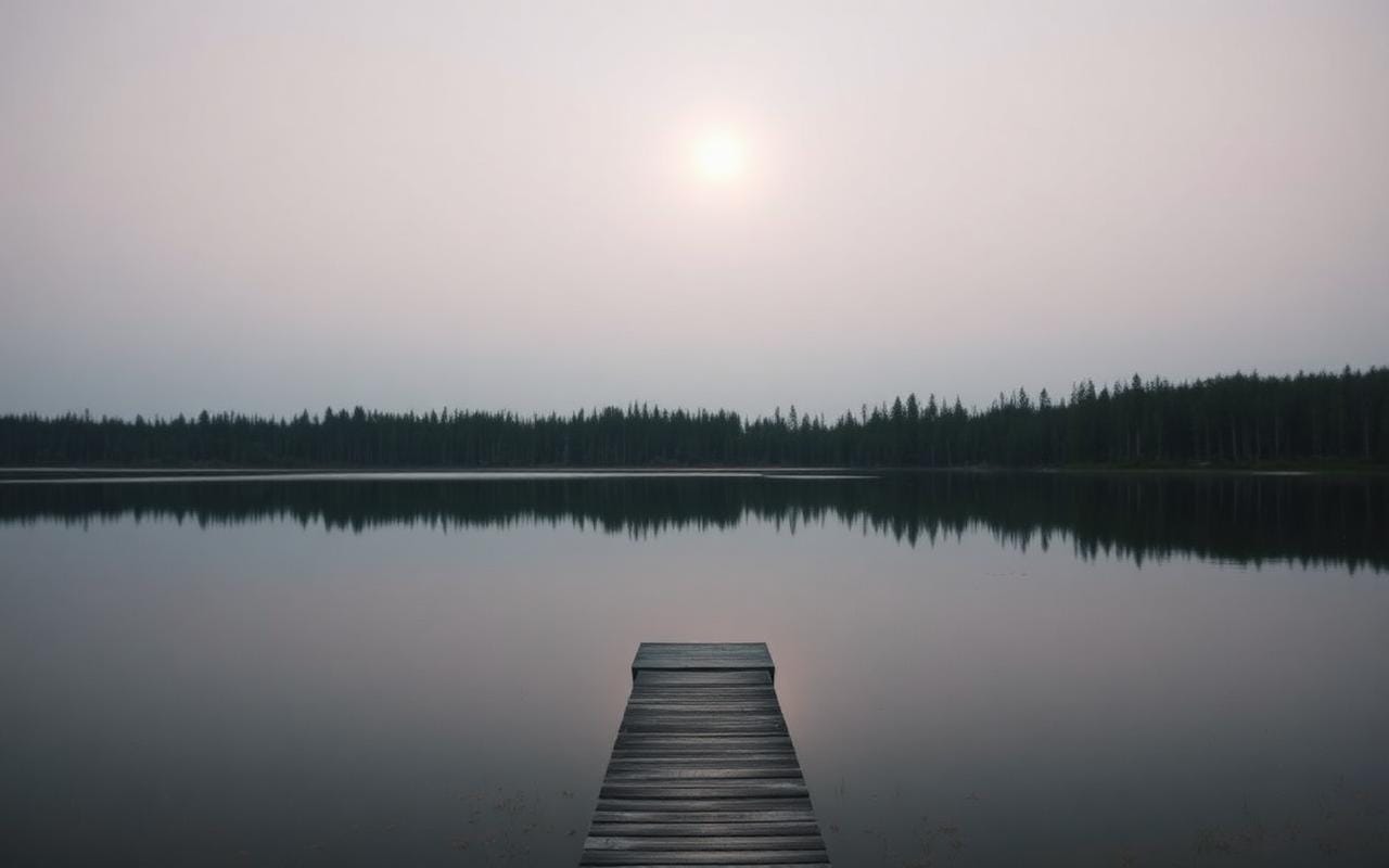
Meanwhile, 2,800 kilometres to the north, Abisko is sitting at 17°C. A light breeze off Lake Torneträsk. A midnight sun that keeps descending toward the horizon without ever quite touching it.
It's no accident that Swedish Lapland is becoming the go-to escape for Europe's most clear-headed van travellers. This is a practical guide for getting there — properly, not just dreaming about it.
Why Swedish Lapland over classic Scandinavia?
Norway is magnificent, and everyone knows it. That's the problem: in July and August, Preikestolen's car park overflows, Lofoten ferries sell out six weeks in advance, and wild camping spots end up surrounded by motorhomes.
Swedish Lapland plays in a different league. North of the Arctic Circle, in the provinces of Norrbotten and Västerbotten, roads get sparse, other vehicles too, and "peak season" starts to lose meaning. You encounter more reindeer than tourists here — and at least the reindeer don't queue for viewpoints.
Sweden also has allemansrätten — the right of public access — which legally allows you to camp almost anywhere in nature for 24 to 48 hours. No need to track down a paid pitch: the whole country is your campsite.
The ideal season: July to mid-August
For escaping a French heatwave, the timing is perfect. From June to mid-August, the sun doesn't set north of the Arctic Circle — or barely does. Temperatures range between 12 and 22°C depending on the day, conditions that hikers and vanlifers consider ideal.
Mosquitoes are real and relentless until mid-July in wetland areas near waterways. After that, they calm down. A mesh screen for your van's vents and a solid repellent are enough to manage.
Mountain roads (fjällvägar) generally open in late June. Before that, some passes are still blocked by snow.
The itinerary: Stockholm to Lapland in 10 days
A realistic loop arc from northern France — or from Stockholm if you arrive by ferry from Kiel or Gdańsk.
Days 1–2: Stockholm → Sundsvall → Östersund (900 km, motorway)
The northward drive from Stockholm is honest: long and not particularly interesting before Sundsvall. Spend the night by Lake Storsjön in Östersund — evening light on the water already feels different from the south. The city is small, pleasant, and has a good supermarket for restocking before the emptiness ahead.
Practical note: the E4 motorway is well maintained to Sundsvall but petrol stations thin out north of Härnösand. Fill up at every opportunity.
Day 3: Östersund → Vilhelmina (400 km, Route 45 — the four seasons road)
Route 45 (Inlandsvägen) is the backbone of inland Sweden. Not spectacular in an alpine way, but hypnotic — pine forests as far as you can see, black lakes, gravel tracks forking into the distance in every direction. You'll spot a moose every two hours if you watch the treeline at dusk.
Vilhelmina is a Sami town. The winter church village (kyrkstad) in timber dates from the 18th century. This is where you first sense that Lapland isn't just scenery: it's a territory with its own culture and history.
Days 4–5: Vilhelmina → Storuman → Tärnaby (bivouac in the fjälls)
From Tärnaby, the road climbs toward the plateaus. This is where you genuinely enter the Swedish alpine zone (fjällen) — dwarf birch heathland, turquoise mountain lakes, the first reindeer on the tarmac.
Wild camp by Lake Laxfjället or in one of the clearings along the road. This is where midnight sun living begins: at 11:30 pm, it's still broad daylight. The light is golden, raking, absolutely unreal.
Days 6–7: Tärnaby → Hemavan → Hiking in the fjälls
Hemavan is the southern trailhead of the Kungsleden — the King's Trail, 440 km running north to Abisko. You don't need to walk all 440 km. A few days on the opening sections are enough to understand why this trail is considered one of the most beautiful in Europe.
The Hemavan–Ammarnäs section (70 km, 3 to 4 days) crosses high Swedish mountain terrain with very few other walkers. STF (Swedish Tourist Association) huts are well-equipped and let you leave the van safely at Hemavan.
For a day hike from the van, the ascent to Norra Sytertoppen (1,768 m) delivers a 200 km view of Arctic plateaus on a clear day.
Day 8: Hemavan → Arjeplog → Jokkmokk
Jokkmokk is the cultural capital of the Sami people. The town hosts the Sami market (Jokkmokks marknad) every winter since 1602, but in summer it's quiet and accessible. The Ájtte Museum — Sweden's national Sami museum — is one of the best ethnographic museums in northern Europe. Allow two to three hours.
Ten kilometres from town, the Lule River rapids offer sport fishing for Arctic char and grayling. Permits are available online (sports fishing, ~€15/day).
Days 9–10: Jokkmokk → Gällivare → Abisko
Gällivare is the gateway to Muddus National Park — old-growth forests, bogs, and one of Europe's largest golden eagle populations. The circular trail around Muddusjärvi lake (22 km, a full day) passes through forests that have never been logged.
Abisko, at the end of the road, may be the most striking point of the whole trip. Lake Torneträsk (70 km long, 10 km wide) is ringed by mountains that plunge directly into the water. The Abisko Canyon (Abiskojokk) is 20 minutes' walk from the car park. On a clear day, the view from the Björkliden ridge is hard to leave behind.
The hikes worth doing
Kungsleden — Abisko to STF Abiskojaure (15 km, 4h, easy): The opening day of the King's Trail from Abisko is the most spectacular section. You follow the canyon, cross dwarf birch forest at altitude, and arrive at the Abiskojaure hut beside a glacial lake. Perfect as a day return from the van.
Nuolja (6 km return, 3h, moderate, 900 m gain): The mountain directly above Abisko. A cable car climbs to 900 m, but hiking to the summit (1,169 m) is accessible to any reasonably fit walker. The 360° view over Torneträsk and the Norwegian mountains is worth every step.
Pallentjåkka (from Nikkaluokta, 18 km, moderate): Less trafficked than Kebnekaise, this 1,640 m summit gives a glacier and plateau view without the queues.
Wildlife: what you actually see
Swedish Lapland is not a safari park — you don't "see" animals on cue. But the chances of encountering something are high if you know where to look.
Reindeer are everywhere, especially at dawn and dusk (which never really arrive in summer). They regularly cross roads — be cautious, particularly on secondary roads and tracks.
Moose (älg) emerge at dusk near wetlands and forest edges. The 9 pm to 11 pm window is the best for spotting them. Route 45 is particularly productive.
Brown bear lives in this region but stays extremely discreet. Tracks and claw marks on birch trees, sometimes. The animal itself, very rarely. No incidents involving hikers who make noise while walking have been recorded.
Osprey (fiskgjuse) is easily spotted over large lakes. Lake Tjeggelvas, between Arjeplog and Slussfors, is one of the best spots.
Sami and Lappish food: what to actually taste
Swedish Lapland isn't a gastronomic destination in the conventional sense — restaurants are rare outside towns. But the local cuisine, when you access it, is distinctive and memorable.
Reindeer is at the centre of everything. Smoked reindeer (rökt ren), reindeer jerky (renspett), reindeer stew (rengryta) — each form has its place. Best accessed through local markets or small shops run by Sami families. In Jokkmokk, the Sami cooperative Sápmi Butiken sells reindeer meat directly from the herders.
Smoked fish: salmon, Arctic char, perch, grayling — the local cold- and hot-smoking methods have a finesse very different from anything you'll find in a supermarket. The markets in Arjeplog and Gällivare are worth the detour.
Wild berries are abundant in August: bilberries (blåbär), lingonberries (lingon), cloudberries (hjortron — the orange Arctic raspberry). Cloudberries are particularly precious: they grow in high-altitude bogs, ripen late July to August, and taste somewhere between apricot and slightly tart raspberry. In jam or raw with a local fresh cheese, they're a definitively Lappish experience.
Trail coffee: Swedes are a nation of coffee drinkers. In STF huts and hiker cafés, the kafferep (coffee with pastries) is an institution. Kardemummabullar (cardamom buns) are the ideal high-altitude break companion.
Top wild camping spots
Allemansrätten makes wild camping legal, but a few spots stand out for their position.
Lake Laxfjället (near Tärnaby): a high-altitude lake at 900 m with direct access from a forest track. The north shore is flat, the water clear, and there's generally nobody around.
Risbäck (between Vilhelmina and Storuman): a small village on Lake Kultsjön with an unofficial but well-established wild camping area. Midnight sunset over the water.
Björkliden (next to Abisko): the cable car car park at Björkliden allows overnight stays with a direct view over Torneträsk. In summer, wild camping is tolerated here.
Van logistics: what you need to know
Fuel: service stations are spaced 60 to 150 km apart in Lapland. Fill up whenever you get the chance. Automated pumps accept European cards, but carry a Visa or Mastercard that works contactlessly.
Water: river and lake water is generally drinkable in Swedish Lapland (filtration recommended but not essential above intensive farming areas). Every village has drinking water.
Mobile signal: Telia and Tele2 have reasonable 4G coverage along main roads, none in the fjälls. Download offline maps (Maps.me or OsmAnd) before heading out.
Mechanical: the nearest garage capable of handling vans is generally in Gällivare or Luleå. Carry the basics — oil filter, belts, tyre repair kit.
Border crossings: no borders to cross between France and Sweden via Germany and Denmark (Øresund Bridge). Ferry from Kiel (Germany) to Gothenburg with TT-Line — 14h crossing, cabins available for overnight with the van on board.
Plan your Lapland route with VanRoute AI
Swedish Lapland is exactly the kind of terrain VanRoute AI was built for — destinations where online resources are sparse, distances are long, and the order of stops genuinely shapes the experience.
A prompt like "Van trip 10 days from Stockholm to Abisko via Inlandsvägen, wild camping, hiking stops, no highways" generates a complete itinerary with bivouac coordinates, trailheads, and inter-stage distances in under 30 seconds.
Swedish Lapland resembles nowhere else in Europe. It's a territory that asks for time and distance — but repays everything you bring to it. While the thermometer in Marseille pushes past 40°C, the birch trees of Abisko are trembling under a light that never quite goes out.